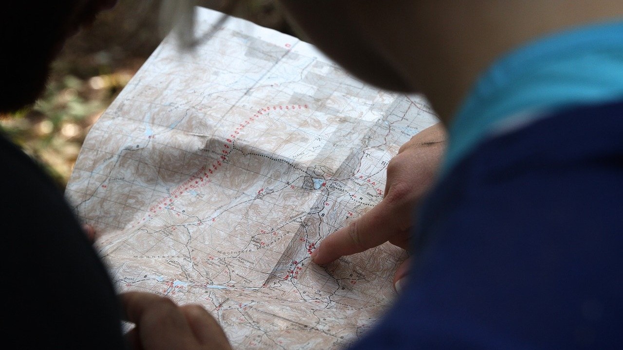
Cartography is the science of collecting and interpreting geographic data and using it to create maps. This assists us with regional planning, emergency response coordination, traveling, land surveying, and both sea and space exploration. The individuals who possess the knowledge and talent to produce the maps we need are called Cartographers or Photogrammetrists.
Cartographers and Photogrammetrists have various duties which work together.
Cartographers collect geographic data and create visual representations of that data in a way that is easy to understand. These representations showcase more than simply where things are but can also include information on weather patterns, population statistics, or even geological data. They must adapt their maps to suit various platforms including interactive maps and navigation systems. Moreover, they update and revise existing maps and charts with the newest data.
Photogrammetrists specialize in aerial and satellite surveying to collect spacial data such as elevation. They analyze the data to form the base map on which cartographers can add their additional data to or adapt to make more user-friendly.
These maps are very important to many aspects of society. As well as providing key information for travel, they can help farmers optimize their landscape based on an area’s watershed, policy-makers analyze the best approaches for urban development, and lawyers establish boundaries of various properties.
Since the maps have many uses, it is important for a cartographer to showcase complex information in ways that are easy to understand for a variety of individuals with varying levels of expertise.
According to the Cartographic and Geographic Information Society, Cartographers are in demand at all levels. Whether it is at the federal level or in the private sector, these individuals are very much sought out.
21st Century Skills required for this profession:
Critical Thinking
- Analyze and interpret data
- Optimize data collection methods
- Carefully inspect data and maps for inconsistencies or errors
Collaboration
- Take feedback and utilize to improve designs
- Determine the overall goal of the project based on client needs
Communication
- Clearly communicate data visually
- Understand client’s goals
- Communicatee what has been learned from the data in graphic, oral, and written formats
Creativity
- Develop new ways of communicating information effectively
- Provide various solutions
Boxlight now has virtual STEM kits, perfect for distance teaching and learning. To learn more, watch this short video: Introducing MyStemKits’ Virtual STEM Kits
For more information about MyStemKits and other Boxlight STEM solutions, visit mimio.boxlight.com/stem-education.


